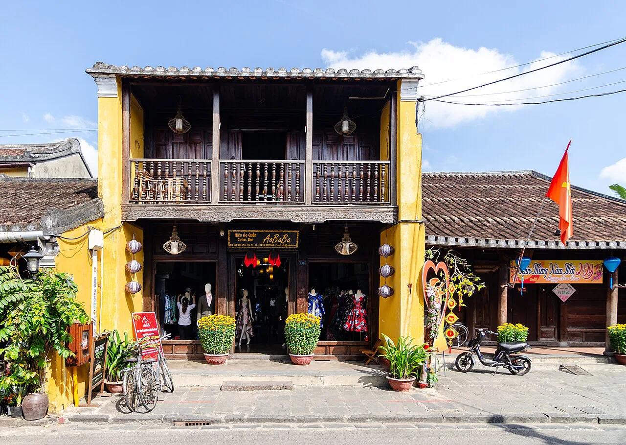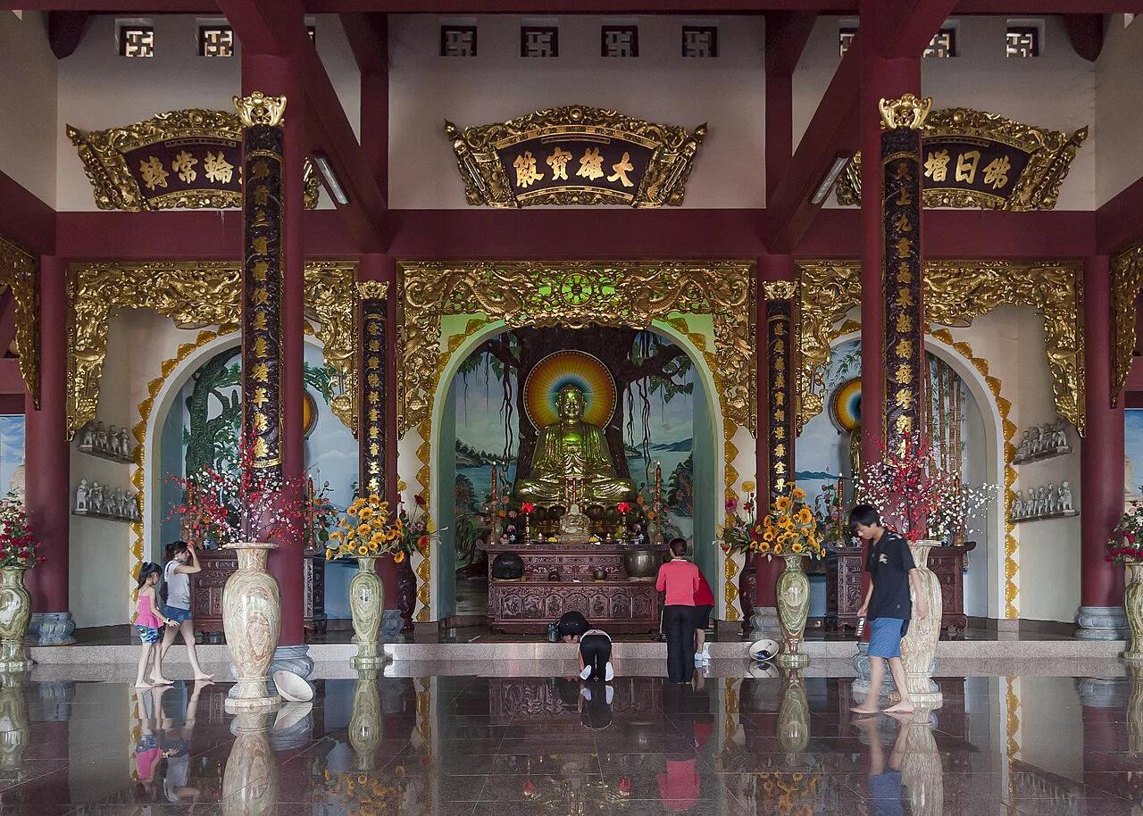
Son Tra Peninsula Da Nang: Routes, Hours & Visit Plan
Plan Son Tra Peninsula: what's open, route and vehicle rules, how long to allow, and which stops are worth it. Check current access first.
On this page
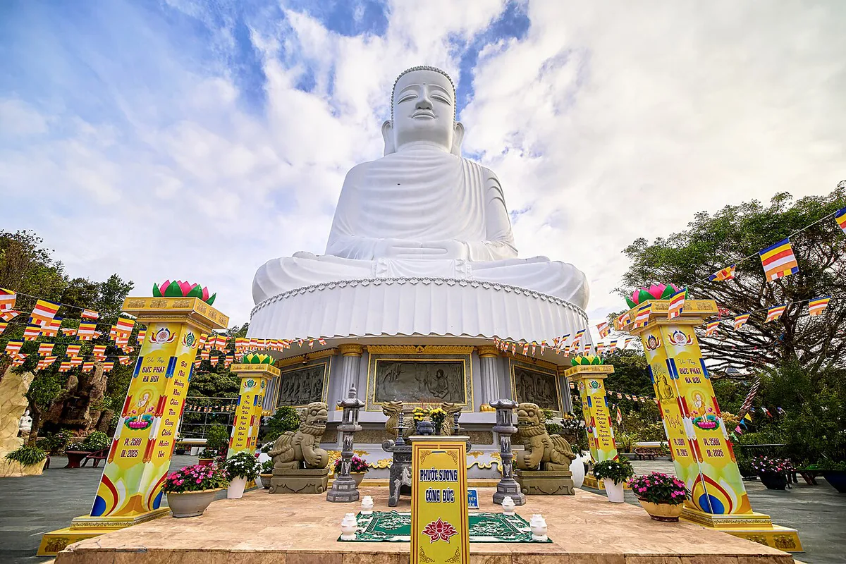
Last updated November 2026: Son Tra Peninsula is the forested headland about 10 km northeast of central Da Nang, home to Linh Ung Pagoda, mountain viewpoints and langur habitat. Routes, hours and vehicle rules are controlled and can change with weather. Plan on 1.5–2 hours for the pagoda alone, 3–5 hours for a half day, or 6–8 hours for a full day.
Featured image: CEphoto, Uwe Aranas, CC BY-SA 3.0, via Wikimedia Commons.
Quick answer: is Son Tra worth the time?
Yes, if you choose two or three stops instead of every viewpoint. Linh Ung Pagoda is the easy win, with a 67-metre Lady Buddha statue and sea views. Ban Co Peak adds a city-and-coast panorama when the sky is clear. For a short Da Nang stop, 1.5–2 hours covers the pagoda alone. A half day of 3–5 hours adds one upper viewpoint or nature stop. Full-day plans of 6–8 hours suit travellers who want a proper meal break and slower photography.
Son Tra at a glance: location and who it suits
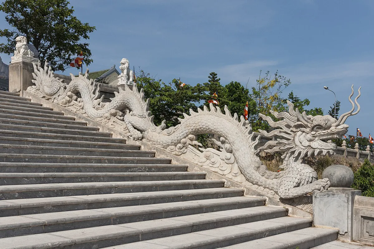
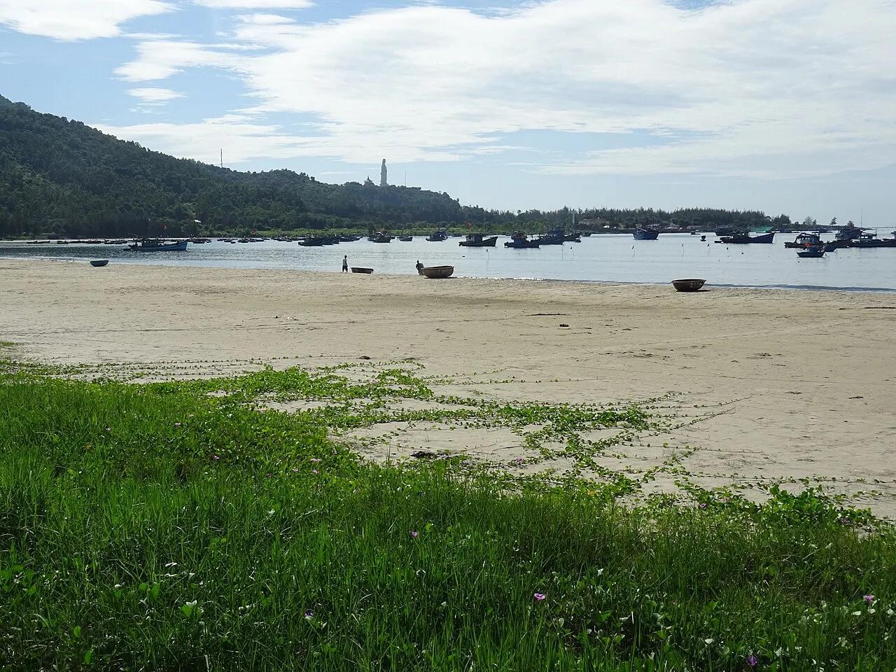
Son Tra lies about 10 km northeast of central Da Nang. Its forest, streams and steep terrain rise to a high point close to 700 metres, according to the official Da Nang tourism site. Maps and older guides also call it Monkey Mountain. Within one half day you can move from a working Buddhist pagoda to coastal viewpoints and protected forest. Use the table to decide how much of it your group wants.
| Go if you… | Lower the priority if you… |
|---|---|
| Want Linh Ung Pagoda plus a scenic mountain road | Have a short Da Nang stop and would spend more time in transit than sightseeing |
| Care about viewpoints, forest and wildlife habitat | Expect a flat, fully accessible attraction with indoor facilities |
| Can change the route if fog, rain or closures appear | Need a rigid schedule with no weather flexibility |
| Are happy picking two or three stops | Want to chase unofficial beaches or remote trekking spots |
Son Tra Peninsula opening hours, route rules and weather closures
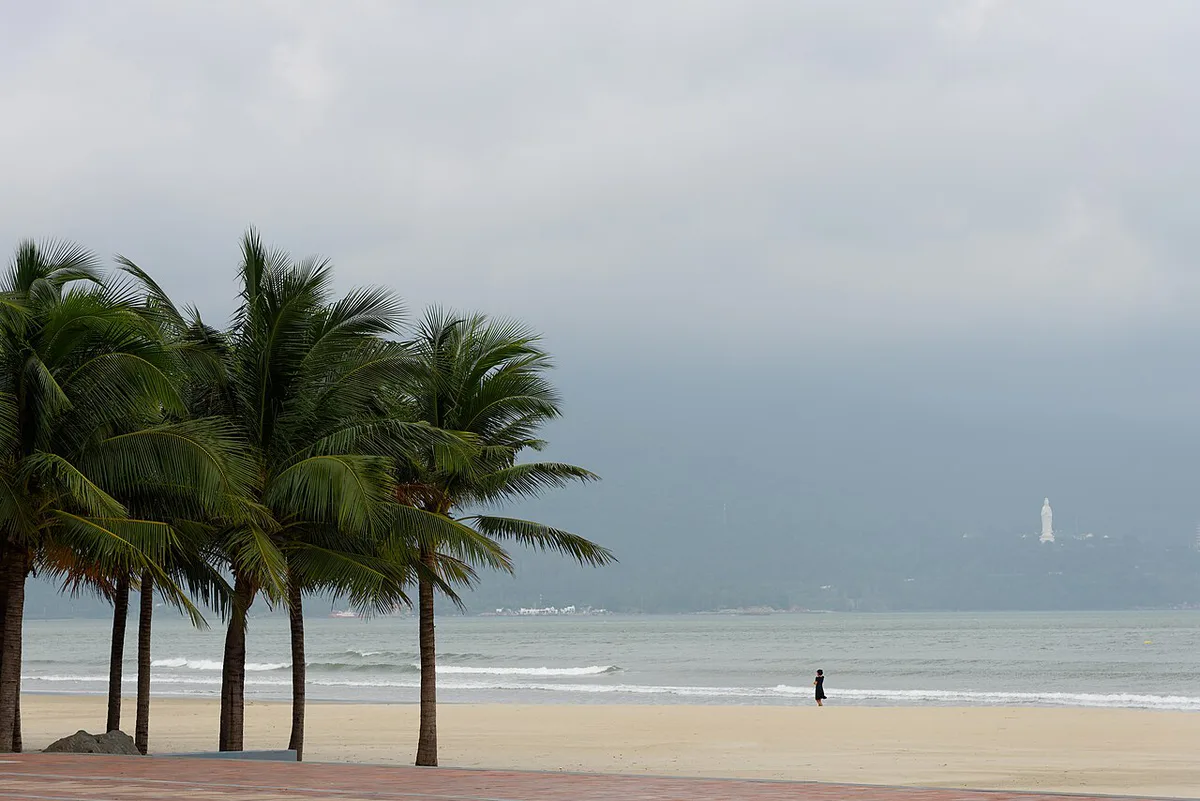
Da Nang's management board sets controlled sightseeing hours for the mountain routes. From March to September, the window is 07:30–18:30. October to February brings a 17:30 close, with the same 07:30 start. Hours and rules checked November 2026. Heavy rain, strong wind, fog and landslide or flash-flood risk can suspend sightseeing. A weather closure in October 2026 ended with reopening on 14 October. Older posts that describe Son Tra as open 24 hours with free roaming are outdated. Recent guidance names authorised corridors around Yet Kieu, Ban Co Peak and Bai Bac, plus the Bai Bac and Heritage Banyan Tree area. Another mountain section was suspended for recovery. Confirm route status with the staff at the checkpoint on the day. Follow posted signs over any saved map.
- March–September: 07:30–18:30
- October–February: 07:30–17:30
- Weather suspensions: heavy rain, strong wind, fog, landslide or flash-flood risk
Can you ride a scooter or motorbike? Vehicle options compared
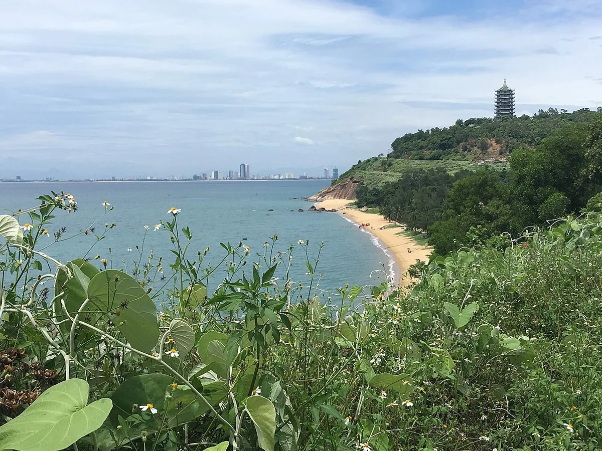
Skip the 'rent a scooter and ride anywhere' plan. Some controlled mountain sections bar automatic scooters and large buses. Gradients, bends, fog and wet roads make the upper routes unlike riding along the beachfront. Foreign licences and international driving permits should not be assumed valid for riding in Vietnam. Ask your hotel to confirm licence rules before you rent. First-timers usually do better with a car and driver. Experienced, legally licensed riders on manual bikes can manage the road in dry weather.
| Option | Best for | Main limitation | Licence or legal note |
|---|---|---|---|
| Car with driver | Families, seniors, groups choosing a few viewpoints | Not every branch road is open to every vehicle | Driver follows checkpoint restrictions |
| Taxi or ride-hailing | Linh Ung Pagoda or a simple point-to-point trip | Awkward for a long loop unless a return pickup is arranged | None for you as a passenger |
| Self-ride motorbike | Experienced, licensed riders in dry weather | Automatic scooters barred on some sections; steep, foggy bends | Do not assume a foreign licence or IDP is valid |
| Walking | Short authorised sections near the pagoda | Not a way to enter the forest on unofficial trails | Stay on designated routes |
Best stops on Son Tra, ranked
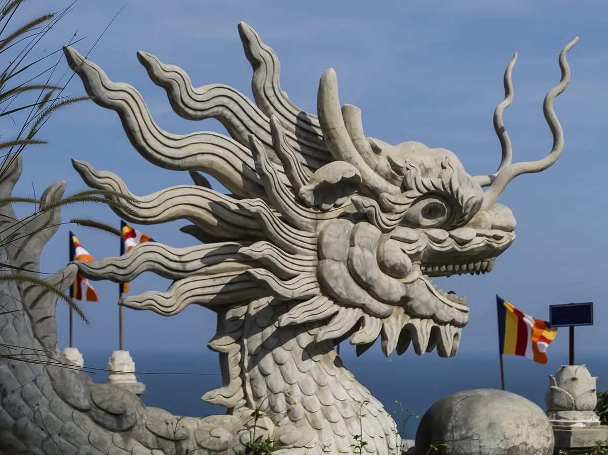
Rank stops by effort and reliability, not by fame. Pagoda first: Linh Ung at Bai But needs no mountain loop. Its 67-metre statue is free to visit, and 45–90 minutes covers most visits. Ban Co Peak sits close to 700 metres above sea level and needs a steep road plus steps. Go if visibility is clear and your group is comfortable with the road and climb. Skip it if the upper slopes are foggy or the route is restricted. Forcing the peak into a foggy day adds driving and little view. Official tourism descriptions put the Heritage Banyan Tree at more than 800 years old and about 22 metres high. Older articles say 'thousand-year-old', so prefer the cautious figure. Tien Sa Lighthouse sits at roughly 223 metres, but access depends on current controls. Bai But and Bai Rang offer swimming stops with basic facilities. Bring your own towel, sunscreen and water.
Linh Ung takes 45–90 minutes, so a 07:30 start leaves the morning free for an upper stop if fog stays off.
- 1. Linh Ung Pagoda: easiest cultural stop, 45–90 minutes
- 2. Ban Co Peak: view stop, weather-dependent
- 3. Heritage Banyan Tree: nature stop on an authorised route
- 4. Tien Sa Lighthouse: conditional, follow access instructions
- 5. Bai But and Bai Rang: swim or rest stops
Wildlife: red-shanked douc langurs and macaques
Red-shanked douc langurs live in Son Tra's forest canopy. Sightings are possible but never guaranteed. Macaques are likelier near roads and Linh Ung Pagoda. Keep food packed away when macaques are close. Do not feed, chase, call or touch any animal. In September 2026, the management board warned against unauthorised trekking, ecotourism and wildlife-observation tours in the special-use forest. Night-time wildlife trips and unofficial forest paths are not normal tourist activities. Watch quietly from the road or an authorised viewing area.
Mui Nghe, Bai Da Den and 'hidden' spots: what to know first
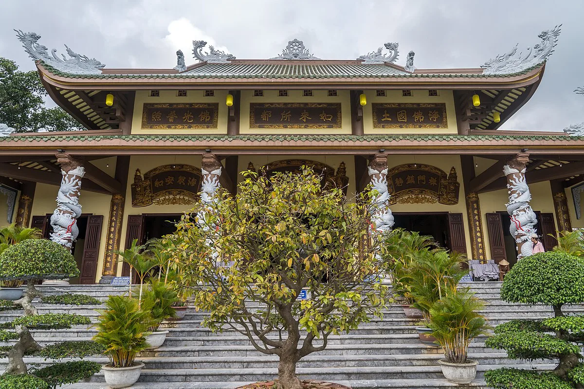
Some guides sell Mui Nghe and Bai Da Den as sunrise spots or trekking goals. Current management guidance says otherwise. Spontaneous trekking routes toward both places have been identified as restricted. Visitors are told not to enter the special-use forest on unofficial paths. Access status can change, so a blog post or map pin is not proof that a trail is open. This guide gives no trail directions for that reason. If a cove matters to your trip, ask the management board about a licensed route. Treat Bai Da Den as restricted unless guidance names a legal route for your visit. Camping, paragliding and night tours are also better left off your plan.
How much time to allow on Son Tra
Match the route to the hours you have. Plan to finish before the 17:30 or 18:30 close, depending on the season. Most first-time visitors find 3–5 hours enough unless wildlife or photography is the main goal.
Half-day plans of 3–5 hours fit the 07:30–18:30 window from March, but from October the 17:30 close means starting earlier.
| Time | What fits | Suits | Skip |
|---|---|---|---|
| 1.5–2 hours | Linh Ung Pagoda and one nearby coastal viewpoint | Short Da Nang stays, seniors, young children | Upper mountain road |
| 3–5 hours | Linh Ung, one upper viewpoint or nature stop, breaks | Most first-time couples and families | Lighthouse if access is unclear |
| 6–8 hours | Pagoda, viewpoints, banyan, beach stop and a meal | Photographers, wildlife-focused travellers | Any unofficial trail or restricted site |
Best time to visit Son Tra
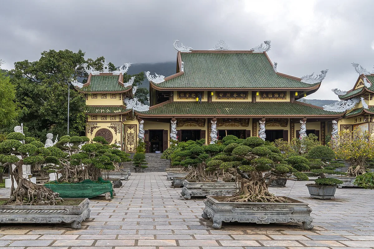
March to September is the drier stretch and generally easier for visibility and roads. Rainy months from October to February bring fog, slippery surfaces and more closures. Start at the 07:30 opening to beat midday heat. Hot midday hours suit Linh Ung and shaded stops better than exposed viewpoints. On foggy mornings, stay low and skip Ban Co Peak. During storm warnings, leave the mountain until the management board reopens access.
Costs, tickets and parking
Entry to Linh Ung Pagoda is free, and most viewpoints charge nothing. Parking, rentals and any snorkelling fees change often, so carry cash and ask for current rates locally.
Where to eat and rest on the route
Eat near Linh Ung or back toward My Khe and central Da Nang. Mountain facilities are limited, and reports say there are no petrol stations on the peninsula. Fill the tank before the climb. Pack water and snacks for the upper stops. Strict dietary needs are easier to meet in the city than at a remote stop.
Son Tra Peninsula map and how to navigate
Picture the layout in two parts. Linh Ung Pagoda sits at Bai But on the lower peninsula. Ban Co Peak and the upper viewpoints sit on the mountain road. Current route maps at the checkpoint show which corridors are open. Download an offline map first, because signal can drop near Ban Co Peak and the banyan. For wider trip planning, the national tourism authority site covers Vietnam-wide visitor information. Run through this short checklist at the gate.
- Today's weather and fog level on the upper slopes
- Route status from checkpoint staff
- Vehicle eligibility, especially automatic scooters
- Cash for parking
- Water, sunscreen and a full tank
Fitting Son Tra into your Da Nang itinerary
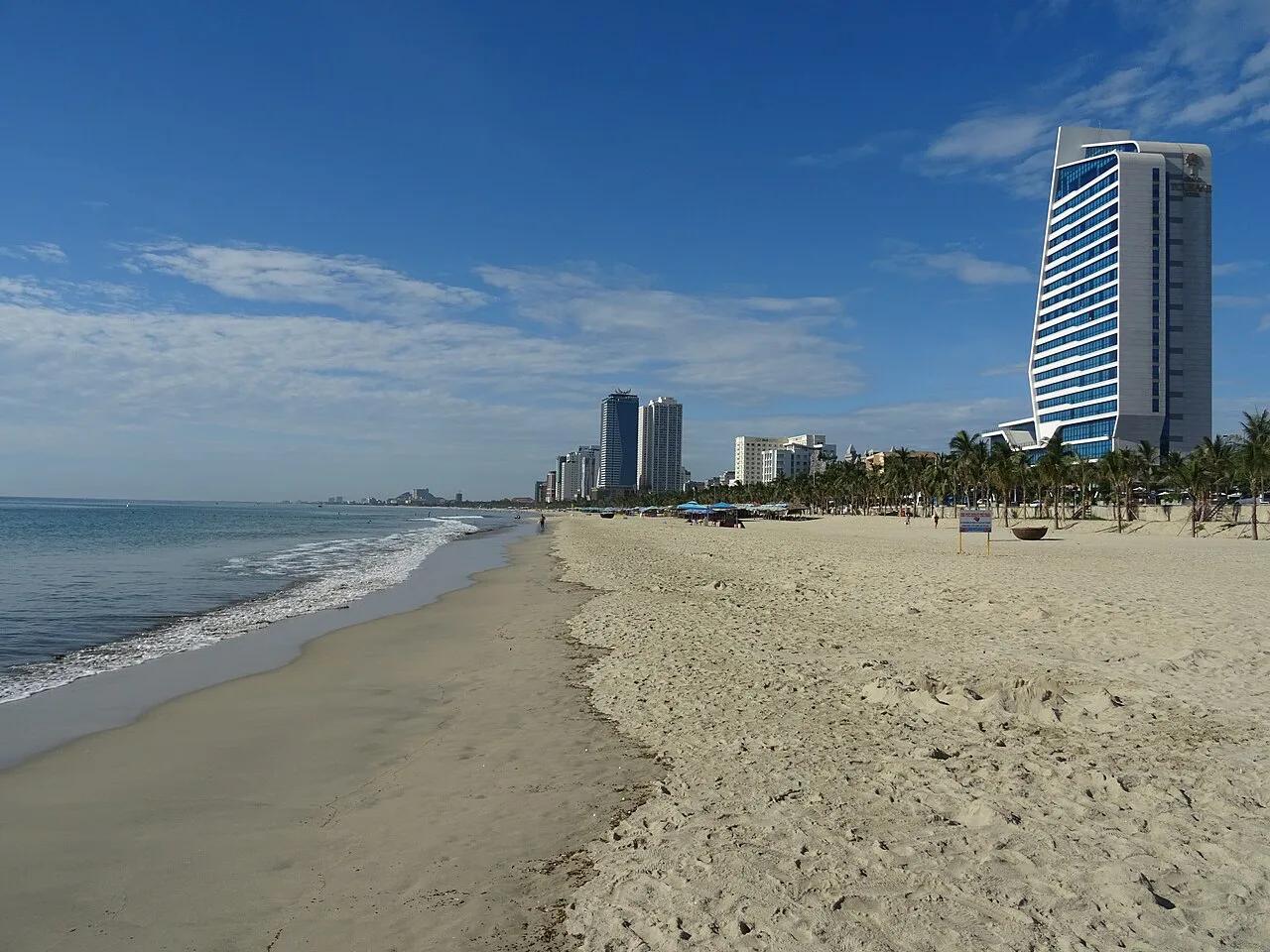
Pair a morning on the peninsula with an afternoon at the beach at My Khe, reportedly about 6 km away. Heading south afterwards? Add the beach at Non Nuoc. If the mountain is closed, drive the coast road to Linh Ung and then switch to the sand. For other options, use this wider beach comparison.
What to wear and bring for Linh Ung and the mountain road
Dress respectfully for Linh Ung Pagoda, which remains a working Buddhist site beneath the 67-metre Lady Buddha statue. Choose clothing that covers shoulders and knees, then bring a light layer for exposed viewpoints. This also makes the transition from the pagoda to cooler, windier upper roads more comfortable.
Start with the pagoda when the mountain routes open at 07:30. Allow 45–90 minutes there before deciding whether conditions justify an upper stop. Wear shoes with grip rather than beach sandals if Ban Co Peak or the banyan is on your plan. The roads and steps can be slippery after rain.
Keep water, sunscreen, cash and an offline map in a small day bag. Mountain facilities are limited, and phone signal can drop near Ban Co Peak and the Heritage Banyan Tree. Pack food away when macaques are nearby, and do not leave litter at beaches or viewpoints.
Useful notes for your Vietnam trip
Optional updates to our guides.
You might also like
Continue reading
More guides you'll find useful