Ho Chi Minh City Metro Guide: Line 1 Stations & Tickets
Everything visitors need for the Ho Chi Minh City metro: Line 1 stations, how to buy tickets, what it reaches, and when Grab is better.
On this page
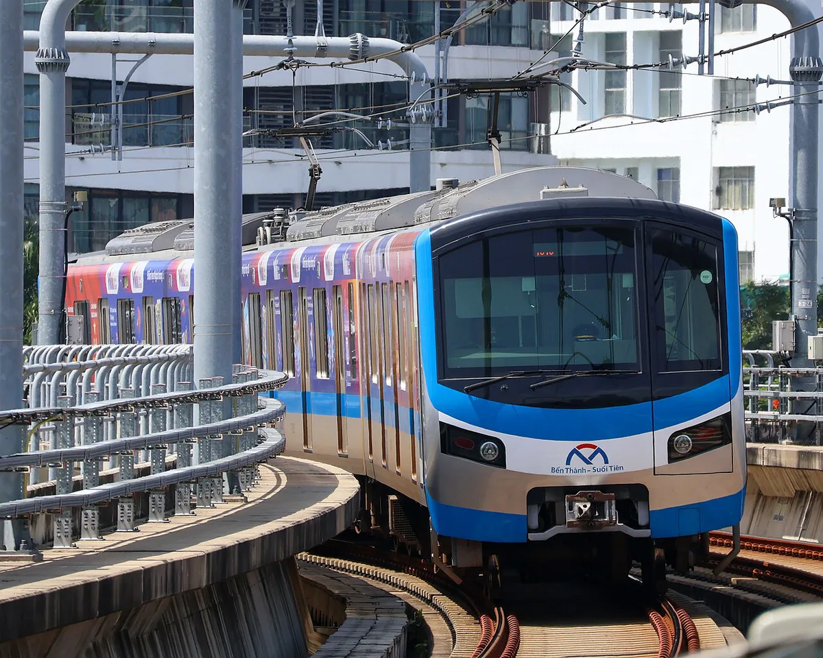
Last updated November 2026: the Ho Chi Minh City metro has one operating line, Line 1, which runs from Bến Thành to Suối Tiên. It opened on 22 December 2024 and serves 14 stations over about 19.7 km. For visitors, the useful part is the three underground stations plus the Thảo Điền and An Phú stretch.
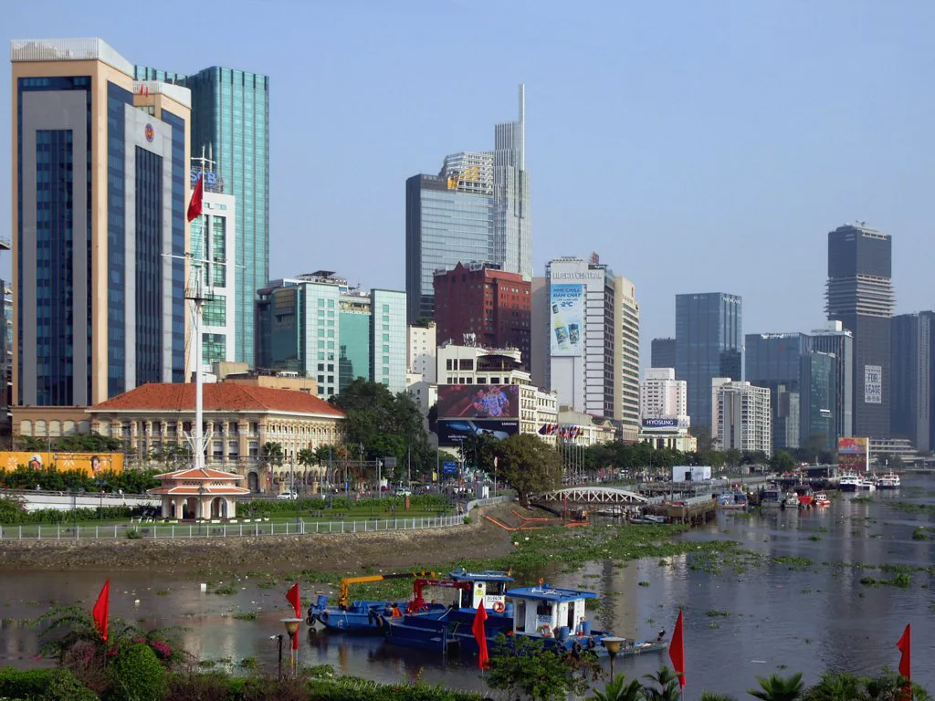
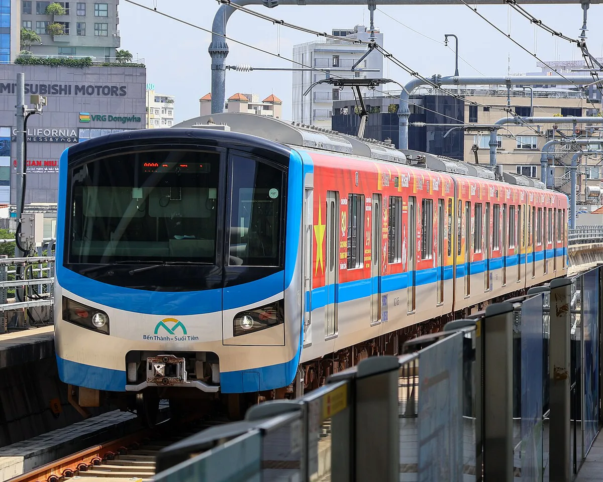
Featured image: Xuanphuocle, CC0, via Wikimedia Commons.
Ho Chi Minh City Metro at a Glance
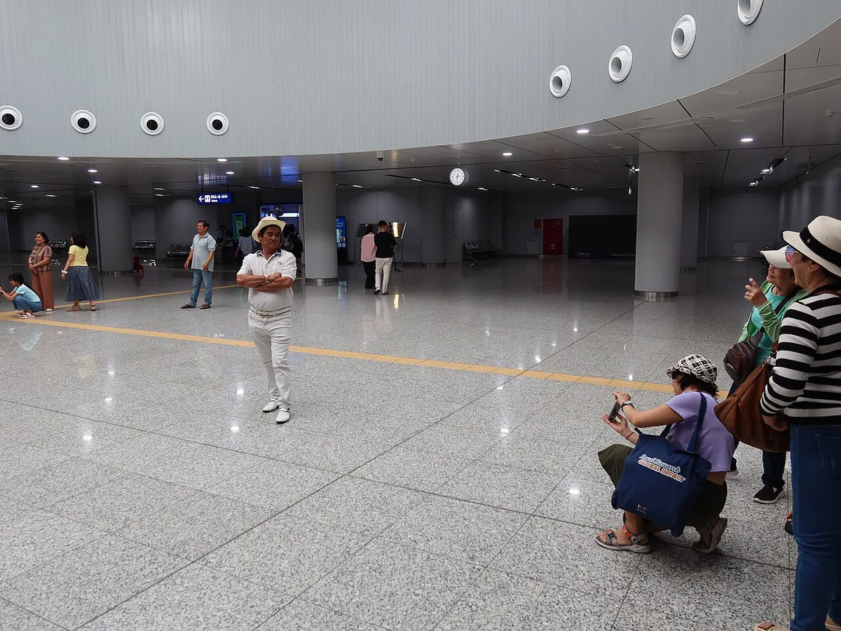
Line 1 is the only line in service. It links Bến Thành in District 1 with Suối Tiên in Thủ Đức. Trains call at 14 stations: 3 underground and 11 elevated. HCM Urban Railways (HURC) operates the line, and the city's urban railway authority (MAUR) manages the network. Expect an east–west commuter line, not a sightseeing loop. Most of the District 1 sightseeing core sits out of reach, because only Bến Thành and the Opera House station serve it. A full end-to-end ride takes about 30 minutes, with roughly 1 to 2 minutes between stops. Read our guide to all the ways to move around the city for the wider mix of buses, Grab and boats. Station notices and service updates are posted on the Line 1 operator's website.
Line 1 Route and Stations
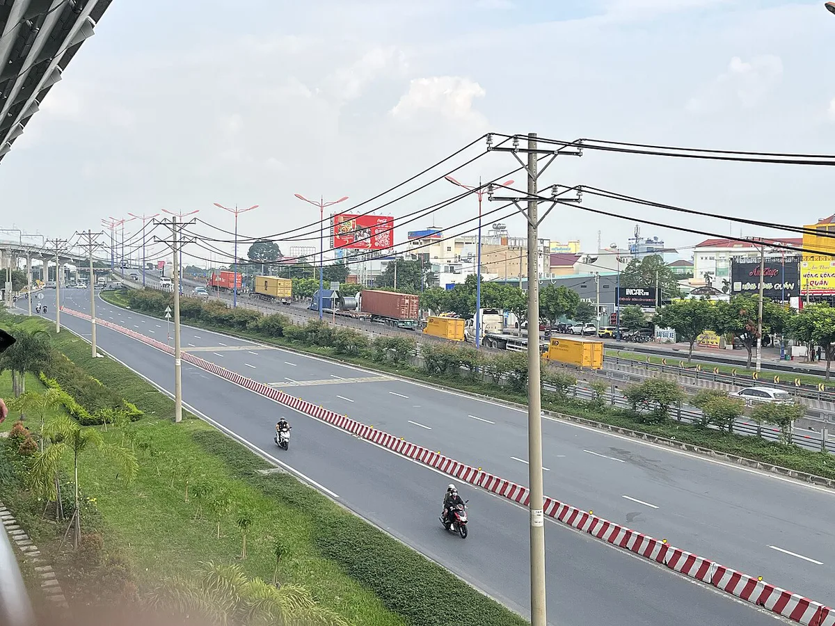
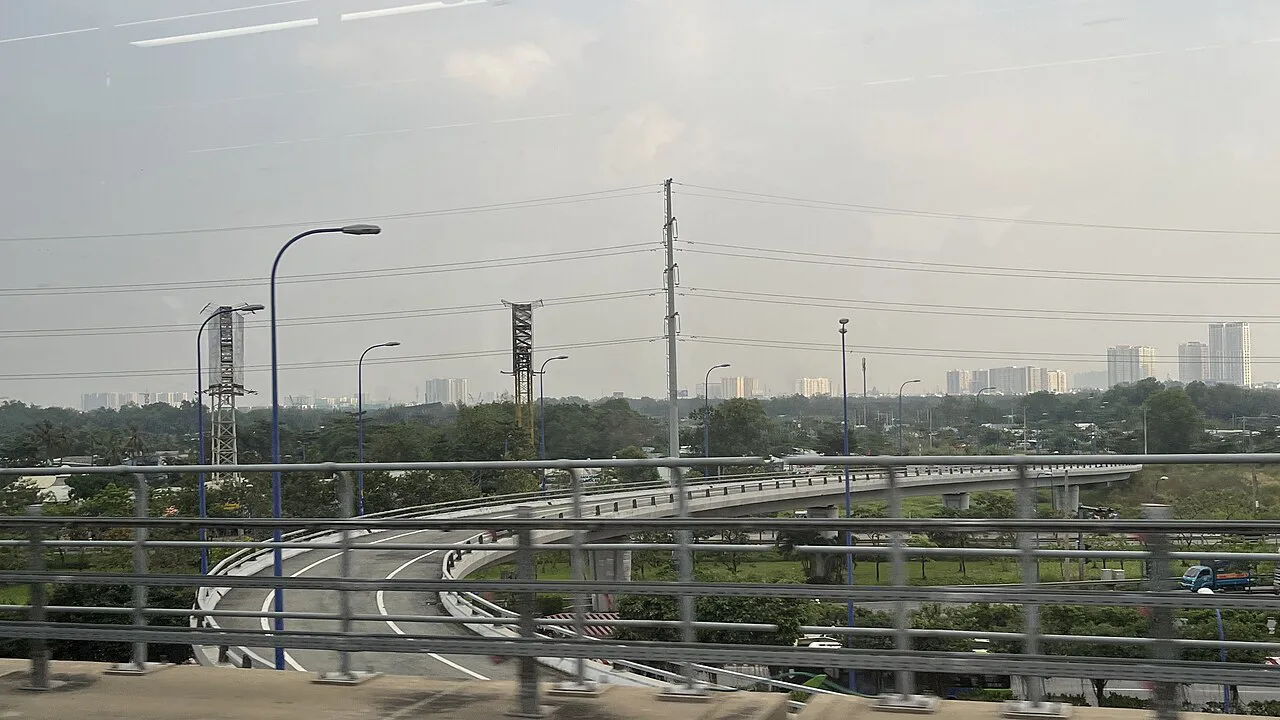
Line 1 runs east from Bến Thành for 19.7 km. Stations 1 to 3 are underground. Stations 4 to 14 are elevated and follow the road corridor toward Thủ Đức. Allow about 30 minutes from end to end. Station names and spellings follow the city's urban railway authority. Some sites write Suối Tiên Terminal and others write Suoi Tien Bus Station, so match the signs rather than the spelling.
- 1. Bến Thành (underground)
- 2. Nhà hát Thành phố, the Opera House (underground)
- 3. Ba Son (underground)
- 4. Văn Thánh Park
- 5. Tân Cảng
- 6. Thảo Điền
- 7. An Phú
- 8. Rạch Chiếc
- 9. Phước Long
- 10. Bình Thái
- 11. Thủ Đức
- 12. High Tech Park
- 13. National University
- 14. Suối Tiên Terminal
Is the Metro Worth Using? Metro vs Grab vs Bus vs Waterbus
Choose the metro for trips between central District 1 and the east side: Thảo Điền, An Phú and Thủ Đức. Rails ignore road congestion, so peak-hour journeys stay predictable. It is also the budget option on that corridor. Pick Grab or a taxi when you carry luggage, travel late at night, or head somewhere far from a station. Take the river when the trip itself is the point. Our Saigon waterbus guide covers that option. Line 1 does not reach Thủ Thiêm or the airport.
| Trip | Metro | Grab or taxi | Best fit |
|---|---|---|---|
| Bến Thành to Thảo Điền or An Phú | Direct on Line 1, no road traffic | Door to door, slow at rush hour | Metro for solo or light-luggage travelers |
| Bến Thành to Suối Tiên Park area | Direct to the eastern terminus | Long road ride through Thủ Đức | Metro, then a short walk or feeder bus |
| District 1 to Thủ Thiêm | No Line 1 station; Line 2 is planned | Direct road route | Grab, or a river option if a pier suits you |
| Hotel to Tân Sơn Nhất Airport | Not served | Direct, handles bags | Grab or taxi |
How to Ride: Tickets, Payment, Hours and Frequency
Fares are distance-based, and the line sells single rides plus daily, 3-day and monthly passes. Payment routes include contactless bank cards at the gates, the official metro app, and paper QR tickets from the station counter. Keep a paper ticket until you exit, because the exit gate scans it. The free launch period ran for 30 days, from 22 December 2024 to 21 January 2025, and is long over. Fare tables changed during rollout, so no single price is quoted here. Read the current table on the operator's fare page or ask at the counter. Fare and hours details reflect operator information available in November 2026. Launch-phase service ran from 05:00 to 22:00, with trains every 8 minutes at peak and every 12 minutes off-peak. Plans called for later hours and shorter gaps afterward. Confirm the last train before you plan an evening return.
Outside the rush, trains come every 12 minutes off-peak, so a crowded 15:30 to 18:00 window is the one to dodge with luggage.
Getting to and from the Stations
Bến Thành is an underground interchange area beside the large Bến Thành Market and a major bus hub. Follow the Line 1 signs inside rather than guessing at street-level entrances, and note which entrance you used so you can find it again. Feeder buses were set up in the 153 to 169 route range, running between District 1 and Thủ Đức. Allow slack when you transfer from a bus, since gaps between buses can be long. For the last stretch, Grab ride tips cover pick-up points and what to expect. A drop-off at the nearest street frontage beats a car waiting in traffic outside a station.
Feeder buses run in the 153 to 169 route range, but Grab suits you better if you carry luggage on the last stretch.
What You Can Reach by Metro
The three underground stations are the most useful for sightseeing. Bến Thành puts you at the market. Opera House station puts you beside the Opera House. Ba Son leaves roughly 500 m to the Tôn Đức Thắng Museum and the riverfront. Farther out, Thảo Điền station sits roughly 500 m from the café and boutique district of the same name. Tân Cảng is roughly 1 km from Landmark 81. Suối Tiên Park is the reason many riders go to the eastern end.
| Station | What is nearby |
|---|---|
| Bến Thành | Bến Thành Market, bus hub |
| Opera House | Ho Chi Minh City Opera House, central District 1 |
| Ba Son | Tôn Đức Thắng Museum, Ba Son Bridge, riverfront |
| Văn Thánh Park | Văn Thánh tourist area with lawns and lakes |
| Tân Cảng | Landmark 81 and its observation deck |
| Thảo Điền | Cafés, boutiques, galleries |
| National University and Suối Tiên | Suối Tiên theme park area |
Does the Metro Go to the Airport?
No. Line 1 runs east, and Tân Sơn Nhất Airport lies northwest of the center. No operating metro line serves it. A later planned line, Line 4, is drawn to pass the airport, but it has no firm start date. See our airport to District 1 options for what works today.
Practical Tips and Mistakes to Avoid
Launch-phase rush hours ran from 06:00 to 08:00, from 11:00 to 12:00 and from 15:30 to 18:00. Trains are busiest then, so skip them with luggage. Eating, drinking and smoking are banned on trains, and you should stay behind the yellow platform line. Avoid these common errors.
- Expecting a metro link to Tân Sơn Nhất Airport.
- Assuming launch-period free rides or old fares still apply.
- Walking up to the wrong Bến Thành entrance and losing time.
- Planning your return too close to the last train.
- Rushing a feeder bus transfer with no time buffer.
Future Lines and What Will Change
Line 2 is planned to connect Bến Thành with Tham Lương and Thủ Thiêm. Construction has begun, but no firm opening date is set. Line 12 toward Cần Giờ is also in construction. Treat both as future additions, not trip-planning tools for this visit.
Useful notes for your Vietnam trip
Optional updates to our guides.
You might also like


Continue reading
More guides you'll find useful